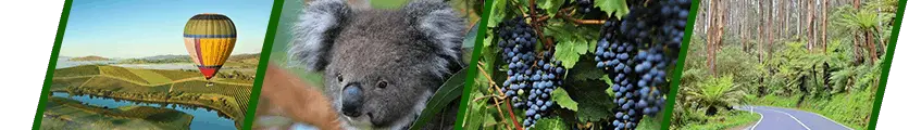


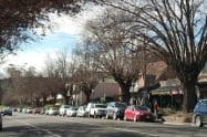
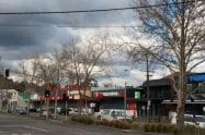

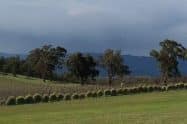
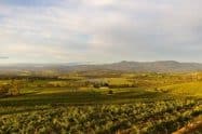
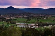


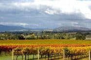
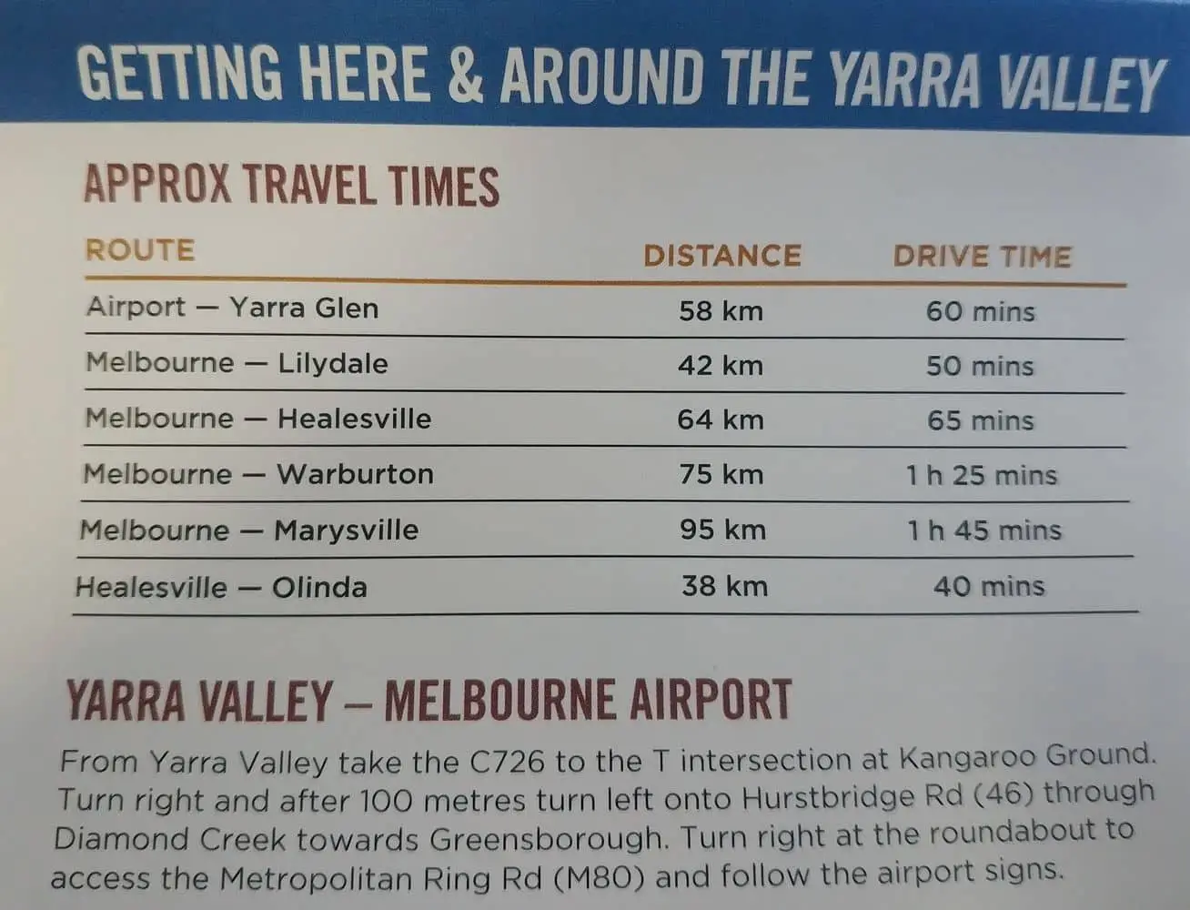
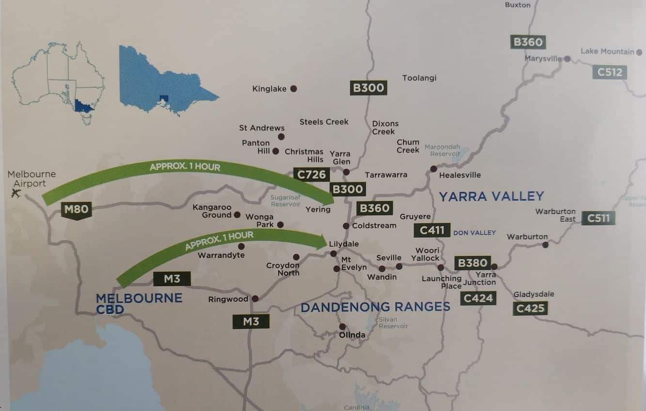
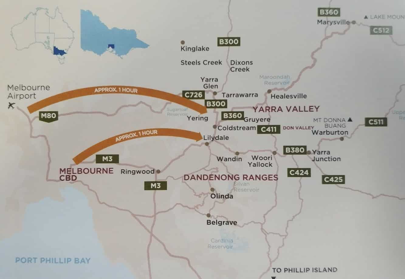
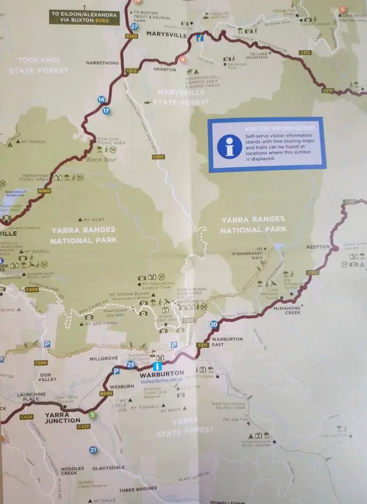
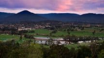
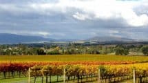
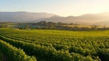
The Yarra Valley is a large region located approximately 1-hour drive east from Melbourne.
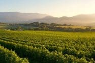
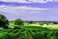
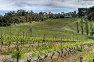
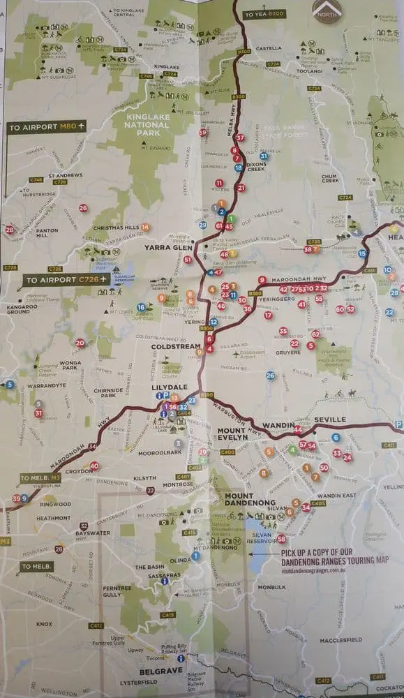
Renowned for its high number of grape producing wineries, the Yarra Valley is recognised as one of the finest wine regions in Australia. Many visitors also come to the Yarra Valley to tour the mountain ranges and go hiking or cycling along the many tracks.
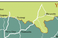
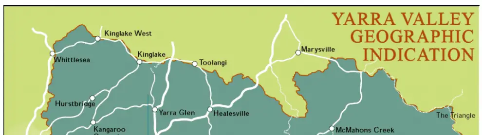
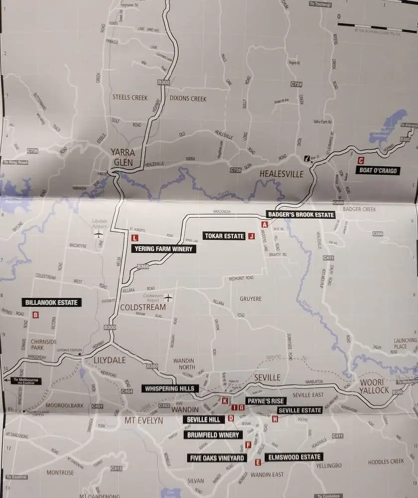
Yarra Valley Tourist & Wine Region Maps, Victoria
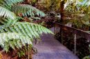
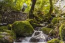
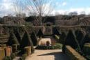
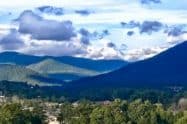
The Yarra Ranges National Park is also located within this region which has a large number of activity options, particularly around Mt. Donna Buang. Here you will find the Rainforest Gallery where you can walk through the treetops on a 350-metre long walkway and stop on a 40-metre long observation platform. Once you reach the summit, you will get a broad view of the manicured gardens and dense woodlands found within the Yarra Ranges.
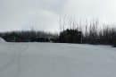
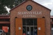
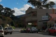
Located in the north-east of the Yarra Valley is Lake Mountain, a picturesque alpine location near Marysville that is a popular holiday destination all year round. During winter, Lake Mountain offers a snow-filled winter wonderland and is perfect for those who enjoy skiing, tobogganing and snowboarding.


Do You Have a Question to Ask?